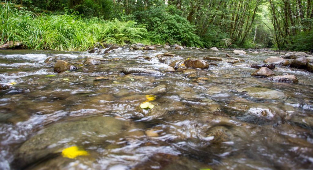
When foresters get ready to harvest timber out of the woods, there’s a lot of work done before the logging crew goes in, including marking areas of trees not to cut. One of those areas is called a Riparian Management Area (RMA), which is a buffer of trees left standing next to a stream to protect water quality. The Oregon Forest Practices Act dictates how wide those buffers should be, depending on the size of the stream and if it contains sensitive species that require extra protection. This month, new rules go into effect requiring bigger buffers around cold water streams supporting salmon, steelhead or bull trout.
OFIC went out into the woods with a team of two professional foresters, three interns, and a cadre of furry four-legged tag-alongs to measure and mark an RMA on a large fish-bearing stream in a unit of forestland about to be harvested in the Oregon north coast range.
In order to get to the stream, the team hiked into the forest on foot.
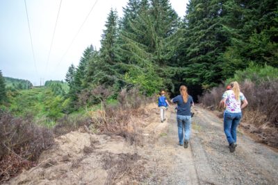
We head out into the woods armed with colored tape and tools for measuring the RMA (and me hauling loads of camera gear).
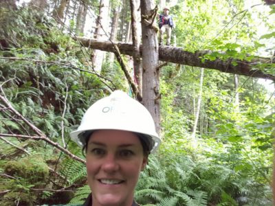
Don’t be fooled by the word “hiking.” This was not an average weekend stroll through manicured trails in a state park. Oregon’s coastal forestland is remote, rough terrain, with steep slopes and dense underbrush. These are 40 to 60-year-old stands of trees that have had little disturbance for decades. I was warned to make sure all my camera gear was tied to my body (I still lost my lens cap) and to take off my wedding ring so I didn’t get my hand snagged on brush. We went early in the morning before the yellow jackets came out, and the dogs were there for more than just companionship. I’m pretty fit, but that day proved to be some of the hardest “hiking” I’ve ever done.
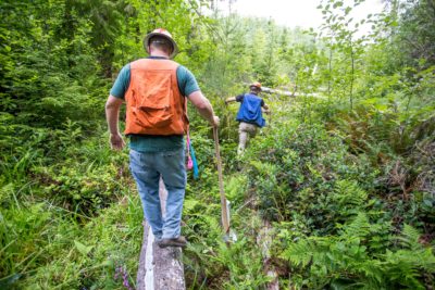
In order to get down to the large stream, we tracked a small, non-fish bearing tributary. While walking in the “stream” wasn’t easy (I had mud over the tops of my hiking boots within 10 minutes), it was certainly easier than trying to stay upright on the steep slope of forestland on either side of the stream. As we went, we tied brightly colored tape on brush every few feet to mark the stream for the logging crew.
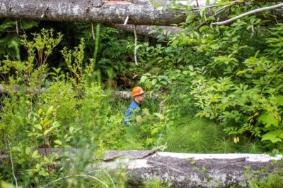
Paul tries to assess if it’s better to climb over those downed logs or walk around. I voted for walk around.
We made slow, humid progress climbing (and falling, in my case) over logs. I used the excuse of taking photos to stop for a breather. I’m sure the crew would have been twice as fast without me.
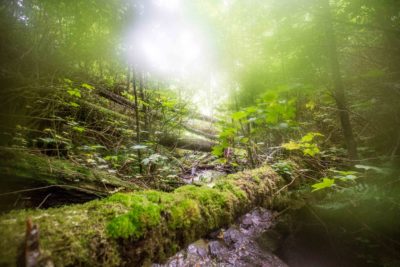
I had to keep my camera tucked in my vest to prevent it from banging into stuff so it got pretty fogged up cause I was sweating all over the place, but if you look closely you can see how the pink ribbon marks the stream for the logging crew.
Eventually, the forest opened up and the tributary lead us to our target: the large stream. I was celebrating the fact that I wouldn’t have to scramble through a wet stream anymore. Surely this part would be easier, right?
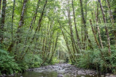
Ah, finally, I can actually see where I’m going.
The Oregon Forest Practices Act requires a 100-foot buffer of trees around large fish-bearing streams. That means the team had to measure a 100-foot distance from the edge of the stream and mark that edge (by tying tape on trees) along the whole length of the stream in the unit to be harvested so the logging crew would know to stay out of that buffer. In order to measure 100 feet, Paul climbed up the slope next to the stream and Luke and the crew stood at the edge of the stream. Using a survey grade laser range finder, Paul measured 100 feet by pointing the laser at a reflective sign Luke held at the edge of the stream.
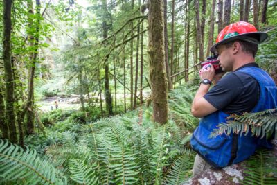
Sometimes it was a clear shot. Other times, stuff was in the way and it took a lot of yelling back and forth to make sure Luke and Paul could determine how far apart they were. I make a good college try of walking along with Paul on the hillside, but there were times when the forest floor vegetation and decaying debris was so dense I just had to step on something and trust that I wouldn’t fall through. Of course I did fall through plenty of times. In fact, I couldn’t wear a skirt to work for two weeks because my legs were so bruised and scratched. At one point, Paul directed me to walk a different route than him because he said it would be “easier” for me to walk through the power line corridor. There are no pictures of that part because I was too busy pushing my way through a tangle of blackberry vines taller than I am and frantically hoping I wasn’t lost. When I finally found Paul he swore he wasn’t trying to ditch me, but I still can’t be sure.
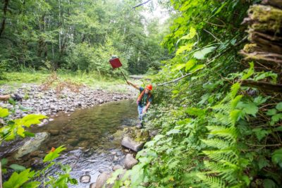
Most entertaining was watching Luke perform stream-side acrobatics to get the reflector in a good spot.
Luke spent lots of time in uncomfortable looking stretches trying to put the reflective sign in a spot where Paul could “see” it with the laser. When it was determined they were 100 feet apart, Paul marked the edge of the buffer with tape and moved on down the stream.
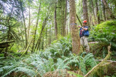
This went on for a long time, slowly marking the edge of the buffer by tying tape every few trees.
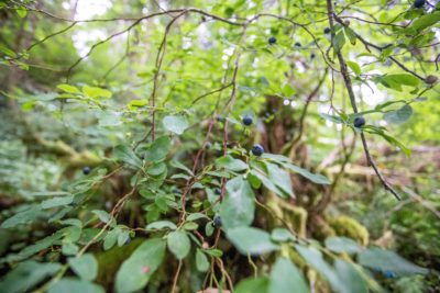
The interns and I ate a lot of huckleberries growing alongside the stream while we waited for Paul and Luke to figure out how far apart they were.
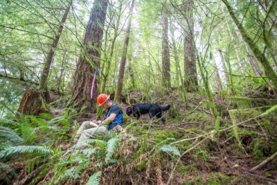
As he marked the buffer, Paul was also counting mandated “leave trees,” and he occasionally stopped to write down in a notebook how many he’d counted. The Oregon Forest Practices Act requires foresters leave two standing live trees and two downed trees per acre for wildlife habitat. It also requires snags, which are standing dead trees that have had their tops broken off for wildlife, like woodpeckers.
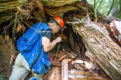
We also stopped to look for evidence of black bears, identified a number of lobster mushrooms, and removed slugs from Luke’s hard hat. All in all, a pretty good time and a heck of a workout. Eventually, after four or five hours Luke and Paul took pity on me and hiked us all back out, vowing that they would come back and finish marking the rest of the buffer another day.
Not pictured are Paul, Luke and I devouring some much deserved fish and chips after a day of hard work in the woods.
Here’s a video flavor of what it was like in real life!
